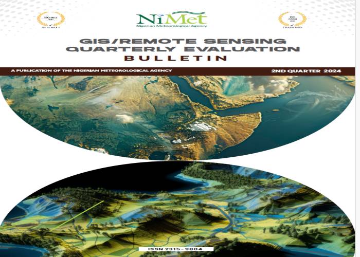
GIS/REMOTE SENSING QUARTERLY EVALUATION BULLETIN
Topic: GIS/REMOTE SENSING BULLETIN
Document Type: GIS/REMOTE SENSING BULLETIN
The Bulletin focuses on the theory, science, and technology of remote sensing, as well as interdisciplinary research with earth and atmospheric science and information science.
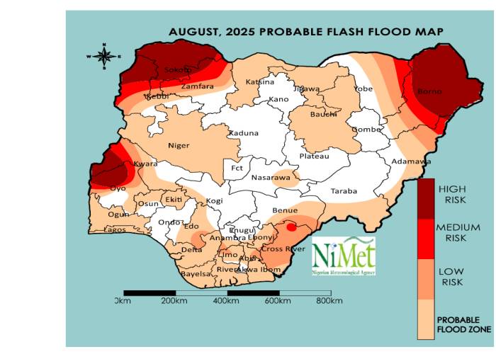
The GIS/Remote Sensing Monthly Evaluation between December 2023 and February 2024 reveals the extent of Nigeria's vulnerability to floods and dust haze. This assessment relies on monthly rainfall, soil moisture index, relative humidity, and other relevant remote sensing data.
NiMet Weather Assistant
Get expert insights on Seasonal Climate Predictions

