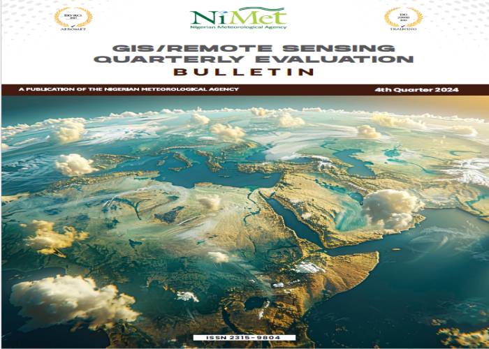
GIS/REMOTE SENSING MONTHLY REVIEW BULLETIN FOR OCTOBER 2024
Topic: Office of the DG
Document Type: Weather Bulletin
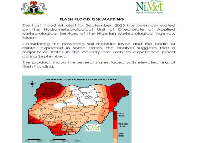
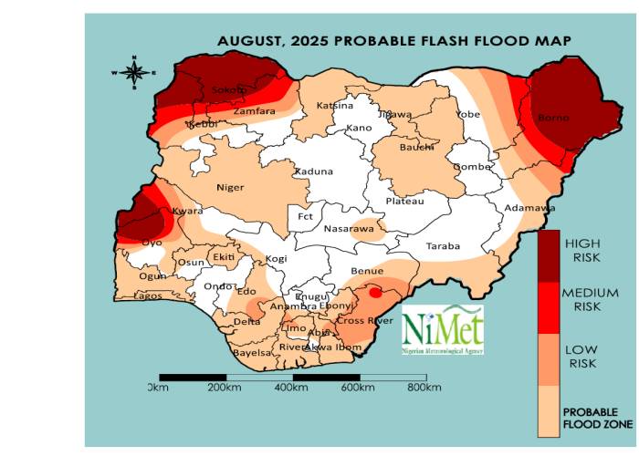
The GIS/Remote Sensing Monthly Review Bulletin for October 2024 shows the levels of susceptibility of
various parts of Nigeria to flood. This assessment relies on both meteorological and remote sensing data
such as monthly rainfall, soil moisture index, relative humidity, amongst others. Geospatial interpolation
techniques including inverse distance weighted (IDW), kriging, Digital Elevation Model (DEM) overlay are
used to carry out necessary geospatial analysis.
NiMet Weather Assistant
Get expert insights on Seasonal Climate Predictions

